MeteoLaser Specialists for Wind Measurement
MeteoLaser Specialists for Wind Measurement
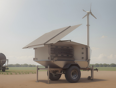
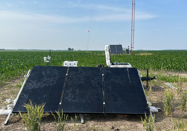
At Telener 360 we are specialists in meteorological applications based on LiDAR (Light Detection and Ranging) technology, known as MeteoLaser. How official distributors of Ammonit (a leading German company in the development of measurement systems) offer our customers the purchase or rental of the Ammonit MeteoLaser Lidar; as well as its installation, verification and technical support.
Benefits of LiDAR Technology
Reducing Uncertainties
Permite una disminución en las incertidumbres de las mediciones, lo que lleva a una eficiencia en las tasas de retorno de proyectos eólicos de gran envergadura
Functionality and Precision
It allows wind resource prospecting campaigns with high precision and wind turbine optimization services thanks to its four-beam Pulse-Doppler technology.
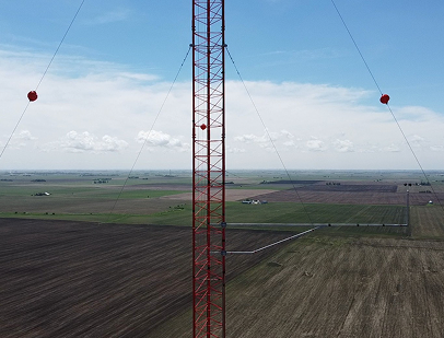
Towerless Wind Measurement
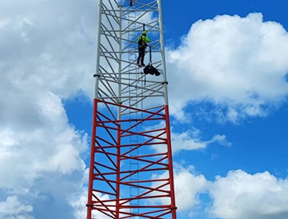
Perform high-precision wind measurements without the need for physical weather towers. This It reduces occupational risks and is especially useful in hard-to-reach areas.
Application and Use Area
LiDAR technology has various uses in the field of renewable energy, especially within the wind sector.
-
Wind Prospecting: It is used to carry out wind measurement campaigns with great accuracy in the preliminary evaluation of the wind resource and in the feasibility studies of future wind farms.
-
Wind Turbine Optimization: Telener 360 uses LiDAR technology to optimize wind turbine performance by detecting and analyzing swerve misalignments, pitch errors, rotor imbalances, power losses, and more.
-
Power Curve Tests: LiDAR equipment is used for the specific measurement of the performance of a wind turbine.
-
Measurement at Multiple Heights: Allows you to measure the speed and direction of the wind in a range of 40 to 300 meters and at up to 12 height levels.
Specifications
- Type: Doppler Pulse LiDAR.
- Laser Beams: 4 laser beams (N, E, S, O).
- Laser Beam Angle: 28° to vertical.
- Measurement Range: From 40 to 300 meters.
- Measurement heights: 12 height levels.
- Measurement Cycle Duration: ~0.8 seconds per beam, ~3.2 seconds for all 4 beams.
- Horizontal Wind Speed Accuracy: 0.1 m/s.
- Wind Speed Range: 0 to 80 m/s.
- Wind Direction Accuracy: 1°.
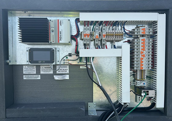
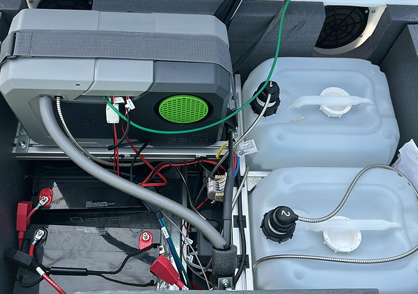
- Power Requirements: 18 to 32 V DC / 93 to 263 V AC (50-60 Hz).
- Power Consumption: 30 W (LiDAR only), 35 W (with cooling), 50-70 W (with heating).
- Operating Temperature Range: -40° C to 60° C.
- Humidity Range: 0% to 100% RH (non-condensing).
- Protection Degree: IP 67.
- Eye Safety Standard: Class 1M IEC/EN 60825-1.
- Hardware Interface: 4G router, Ethernet, laptop connection, USB for GPS tracking.
- Data Format (compressed): 10-minute files and 1-second data CSV files.
- Memory Capacity: 100 GB available for CSV files.
- Remote Access User Interface: Web application on AmmonitConnect (SSH Reverse Tunneling).
- Data Transmission Protocols: Emails, FTP and SCP, SFTP from AmmonitOR.
- Data Cloud: AmmonitOR Data Cloud.
- Factory Report: Included for free.
- IEC 61400-12-1 verification: Available for purchase.